Blogs
Maps
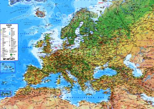
Europe Road Map
Interactive road map of Europe with national parks and monuments, points of interest, tourist attractions, resorts and facilities, road distances, index, time zones.
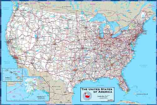
US States and Regions
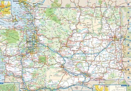
Washington State Road Map
Road map of Washington with national parks, relief, and points of interest.