Map of the Alps


Karte der Alpen - La carte des Alpes - Mappa delle Alpi
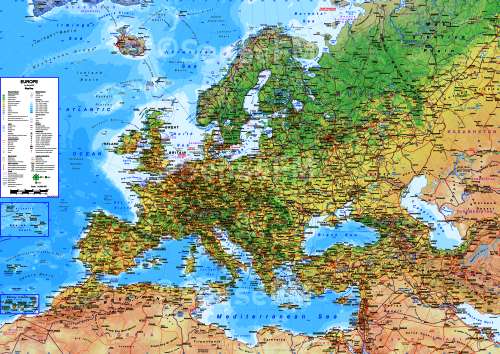
The highest peaks of Europe are located in the Alps, a mountain range stretches through France, Italy, Switzerland, Austria, Germany, Slovenia and Hungary. The highest mountain in the Alps is Mont Blanc with a height of 4810 m.
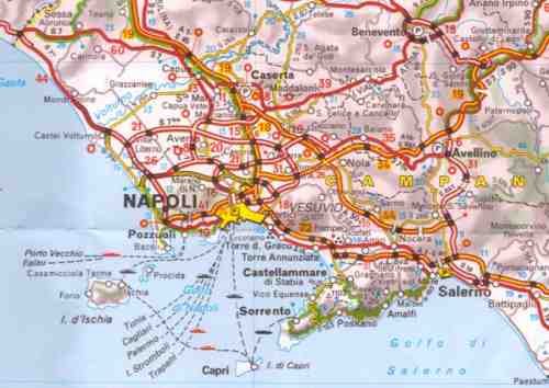
This map includes
- Motorways, principal highways
- Secondary roads
- Road numbering
- Street maps of major cities
- Distances between selected points
- Shaded relief
- Points of Interest clearly marked
- Tourist information and Attractions
Order printed version of this map at maps.com.